Responsible for data privacy
Brauneck- und Wallbergbahnen GmbH - Felix Gebhard<br>FX DATA UG (haftungsbeschränkt)<br>Ottobrunner Str. 28<br>82008 Unterhaching

2 hours
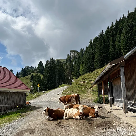
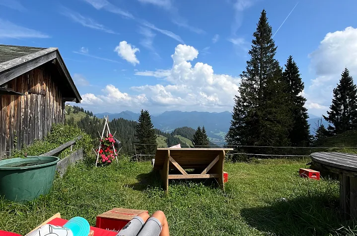
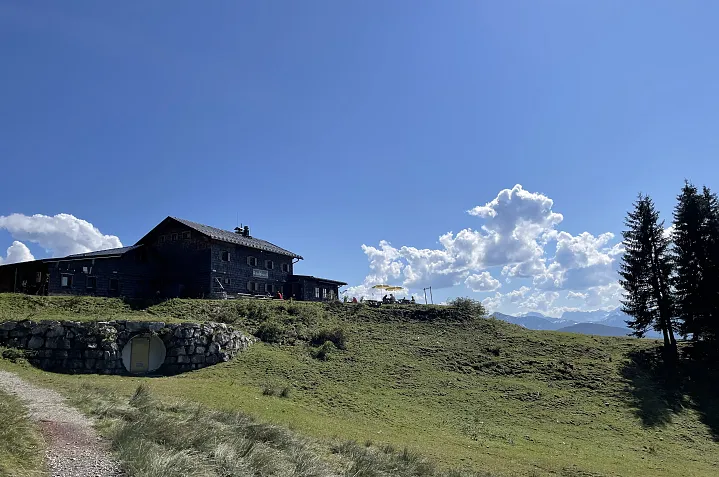
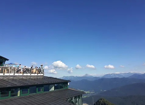
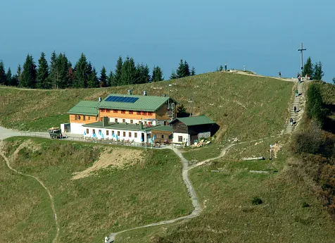
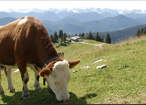
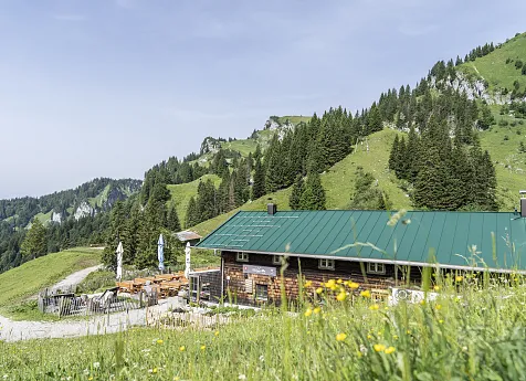
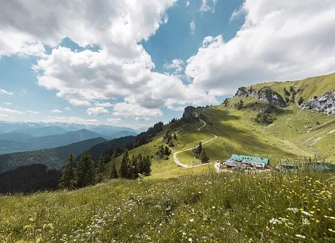
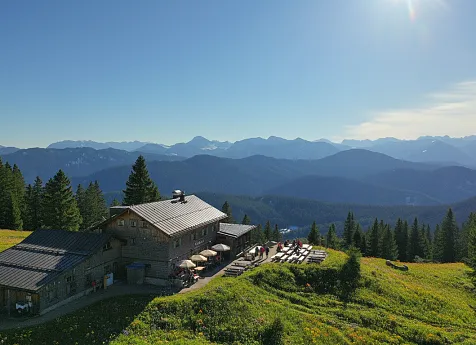
A beautiful, safe circular route from hut to hut - across marvellous alpine meadows, with magnificent views of the Karwendel mountains and the Isar valley in between. From the mountain station, first take trail no. 1 ‘Panoramaweg’ to the ‘Almwanderung’ junction just before the Tölzer Hütte.
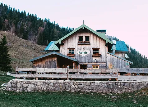
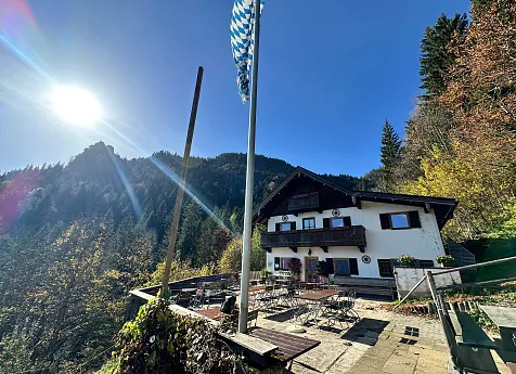
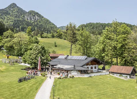
Turn left here on a narrow path to the Quenger Alm - Strasser Alm and left downhill on the alpine road to the Bayernhütte. Pass the hut on the left, initially downhill, then branch off to the left on the small hiking trail crossing the alpine meadows to the Florihütte. From here a moderate ascent to the Kotsattel. Take a path to the left through the forest back to the mountain station.